

People are being warned of dangerous driving conditions in 16 counties this morning, including Carlow and Kilkenny.
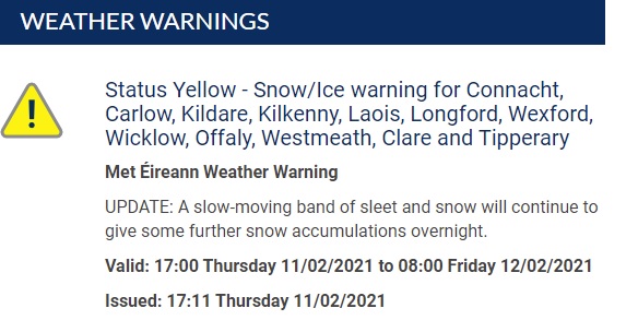
Gardaí in Carlow and Kilkenny say there’ve been no issues reported to them overnight but status yellow snow and ice alerts remain in place for Connacht, parts of Leinster and north Munster until 8am.
There was snow and sleet in many areas yesterday, but Met Éireann says it’s now changing to rain in most parts.
But Alan O’Reilly from Carlow Weather says even if it doesn’t look too bad where you are – you could well running into treacherous conditions on the roads.
It’s as Kilkenny Senior Roads Engineer says the main routes have been treated overnight but if you have to go out early plan your route and leave plenty of time to drive slowly. While his Carlow counterpart, Padraig O’Gorman, has the same message – take extra care if you have to go to work but otherwise take it easy and stay home this morning.
As for the big snowfall that had been anticipated, Mr O’Reilly says “No, very little snow overnight in Carlow Kilkenny, there was a few flurries but they broke up in most areas, some high ground possibly, in parts of Mount Leinster etc might have had a bit of a covering but many areas staying dry really with just flakes blowing in the wind”.
He sums up what’s forecast, saying”There will be the odd little flurry this morning, but generally staying mainly dry, possibly a little bit of rain or sleet into South Kilkenny, but then later tonight it’s going to turn very wet”.
And he adds “Now, there’s a very active front coming in from the Atlantic and it may well fall as sleet and snow for a time in parts of Carlow Kilkenny because Met Eireann have a yellow warning out for snow and ice which includes all of Leinster, it’ll fall especially as snow on higher ground early tomorrow morning but it’ll turn back to rain then in many areas, unfortunately staying very windy as well so not very pleasant conditions and then more heavy rain and strong winds unfortunately as we head into Sunday”.
Meanwhile, Met Eireann has the following outlook for today and tomorrow:
“Generally cloudy this morning with just the odd snow flurry. Mostly dry this afternoon with a few bright spells expected. Another cold and blustery day with highs of 2 to 5 degrees in fresh and gusty southeast winds.
Dry early tonight but sleet and snow will spread from the west later with accumulations expected bringing hazardous conditions on roads and pathways with reduced visibility. Minimum temperatures of -1 to +3 degrees in strong southeast winds.
Sleet and snow for a time on Saturday morning with further accumulations, bringing a risk of some disruption. By afternoon, falls of snow will have transitioned to rain and a thaw will set in. Maximum temperatures of 2 to 6 degrees in strong and gusty southeast winds”.


